Geospatial (GIS) & Digital Solutions
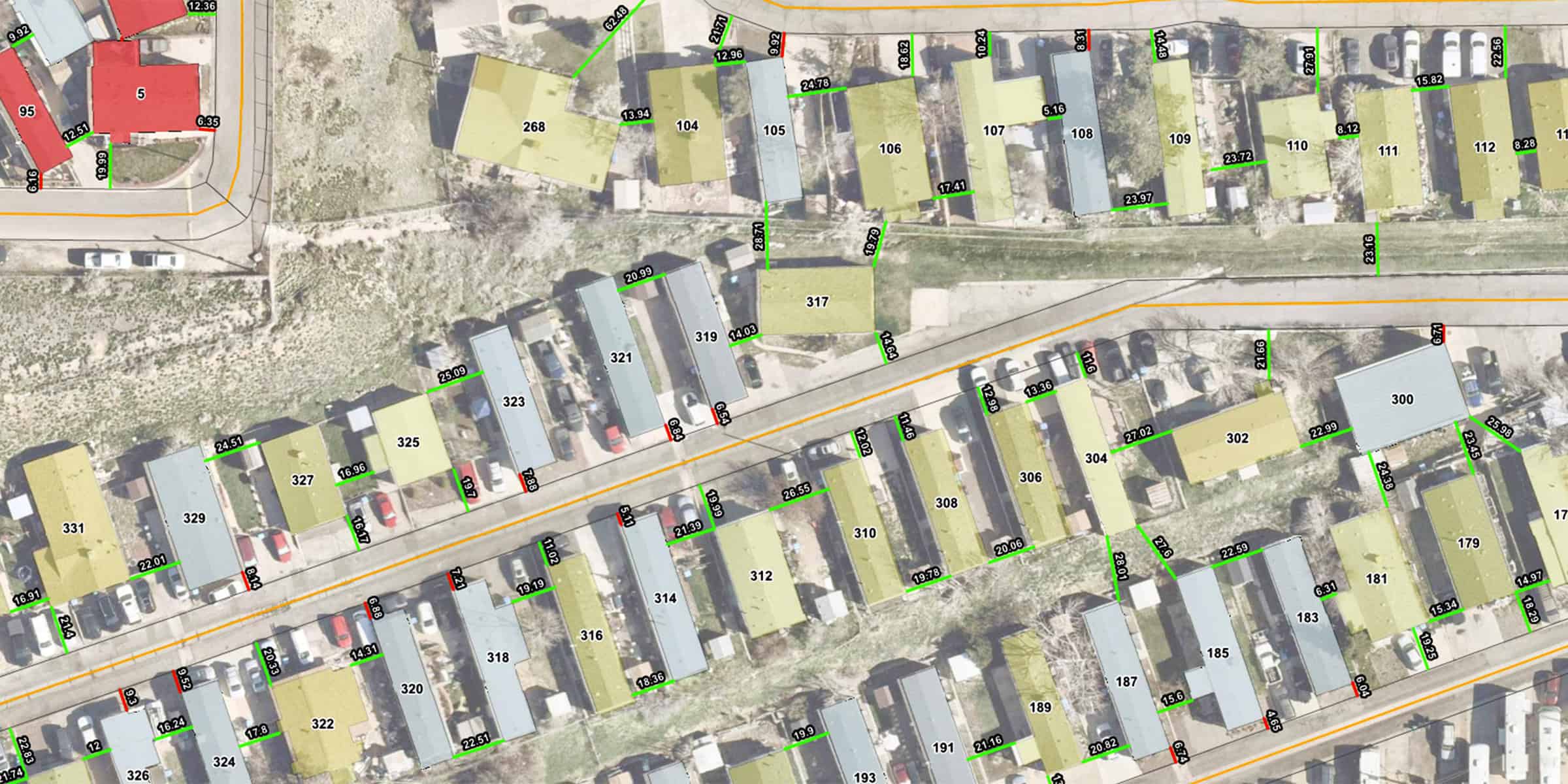
Integrated geographic information systems (GIS) services deliver end-to-end solutions, from data capture and geodatabase development to mobile mapping, asset management, and hydraulic model integration, providing accurate, accessible spatial data and insights that power smarter planning and design.
Get In Touch
- 303.431.6100
- info@martinmartin.com